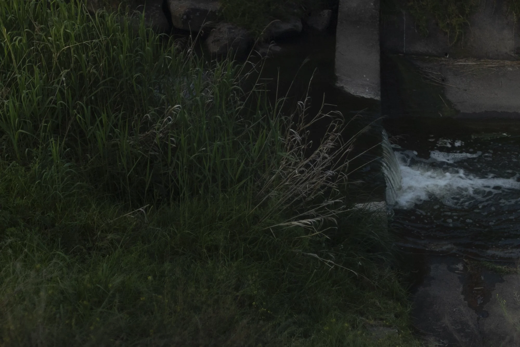
During her residency, AV artist Edwina Stevens has been showing Moonee Moonee Underpass 2020. The artwork reflects upon the experience of stepping out of the home during Victoria's extended COVID-19 lockdowns when, like many of us, the artist took long walks along the Moonee Moonee creek trail.
On Saturday, 20 August, we are going to take a wander along the Moonee Moonee creek trail with Eddie to experience the places where she walked and recorded her images and sounds for the artwork, and we'd love you to join us.
We're going to meet where Eddie recorded the sounds in the underpass. Afterwards, we may wander back towards Strathmore, where the concrete channel starts along the trail. GPS coordinates and other details are below. Or, we may choose to have a wander around the recording point instead.
On the day, you can choose how to approach your walk. Stroll along with the group or wander off to have your experience while loosely connecting with the group. Or, you can choose to do the walk in your own time.
Notes:
—In the event of wet weather, we will reschedule until next weekend (same time). We will confirm via social media and email tomorrow morning 20/8.
—The walk is approximately 3.5km or 45 minutes on relatively even terrain.
—If it feels right, bring your phone, camera or recording device to capture your experience of walking, listening, looking and noticing what is around you. If you prefer, you can also listen to Edwina's sound work while you walk. Access it here. You can also read Ouyang Yu’s poem 《啪啪》written in response to Eddie’s work. Check out the Blog post ‘Sound poem/Ouyang Yu’ (here).
—Please RSVP for free to join the group so that we don’t accidentally leave someone behind!
—Questions? Feel welcome to email info@correspondences.work
Meeting/location details
Continue
The walk featured in the artwork starts at Strathmore on the Moonee Ponds Creek Trail - GPS co-ordinates -37.723786, 144.917112. This is the start of the concrete channel photographed in the artist’s exhibition (featured below). Press the ‘View larger map’ hyperlink in the map at left to launch a larger map showing the proposed starting point pin.
Start
The underpass where the sound was recorded, under the CityLink M2 is located in Essendon – GPS co-ordinates -37.744507, 144.933955, which is a 3.3km walk approximately. Press the ‘View larger map’ hyperlink in the map at right to launch a larger map showing the proposed ending point pin.
Edwina Stevens, Moonee Moonee Underpass 11, inkjet print, 69.5 x 46.3 cm © Edwina Stevens. Sales inquiries: info@correspondences.work.


